Browse Items (5850 total)
Best loved songs of the American people / [edited by] Denes Agay ; ill. by Reisie Lonette
Book / In-house Use Only
Collection: Books and Pamphlets
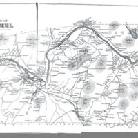
Bethel 1880 map
Still Image / Available Online
Collection: Bethel: A Historic Town images
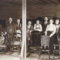
Bethel Chair Company
Still Image / Available Online
Collection: Bethel: A Historic Town images
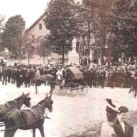
Bethel Civil War monument dedication
Still Image / Available Online
Collection: Bethel: A Historic Town images
Bethel Doctors, 1900-1950
Text / Available Online
Bethel Doctors, 1900-1950 by Margaret Joy Tibbetts Dr. Raymond R. Tibbetts (1875-1958) Editor’s Note: A version of this essay was presented as a lecture sponsored by the Bethel Historical Society on 7 November 1991 held in the Dr. Moses Mason…
Collection: Featured Articles from The Courier
Bethel Hill-Mayville covered bridge
Still Image / Available Online
Collection: Bethel: A Historic Town images
Bethel in the War of the Rebellion
Text / Available Online
Bethel in the War of the Rebellion by William B. Lapham The following lightly edited text is taken from the History of Bethel, Formerly Sudbury Canada, Oxford County, Maine 1768-1890, compiled by William B. Lapham and published in 1891 by the…
Tags: Bethel (Me.)
Collection: Featured Articles from The Courier
Bethel News, Vol. 1, No. 1 (June 5, 1895)
Serial Issue / Available Online
Collection: Full Issues of the Bethel News
Bethel News, Vol. 1, No. 10 (August 7, 1895)
Serial Issue / Available Online
Collection: Full Issues of the Bethel News
Bethel News, Vol. 1, No. 11 (August 14, 1895)
Serial Issue / Available Online
Collection: Full Issues of the Bethel News
Bethel News, Vol. 1, No. 12 (August 21, 1895)
Serial Issue / Available Online
Collection: Full Issues of the Bethel News
Bethel News, Vol. 1, No. 13 (August 28, 1895)
Serial Issue / Available Online
Collection: Full Issues of the Bethel News
Bethel News, Vol. 1, No. 14 (September 4, 1895)
Serial Issue / Available Online
Collection: Full Issues of the Bethel News
Bethel News, Vol. 1, No. 15 (September 11, 1895)
Serial Issue / Available Online
Collection: Full Issues of the Bethel News
Bethel News, Vol. 1, No. 16 (September 18, 1895)
Serial Issue / Available Online
Collection: Full Issues of the Bethel News
Bethel News, Vol. 1, No. 17 (September 25, 1895)
Serial Issue / Available Online
Collection: Full Issues of the Bethel News
Bethel News, Vol. 1, No. 18 (October 2, 1895)
Serial Issue / Available Online
Collection: Full Issues of the Bethel News
Bethel News, Vol. 1, No. 19 (October 9, 1895)
Serial Issue / Available Online
Collection: Full Issues of the Bethel News
Bethel News, Vol. 1, No. 2 (June 12, 1895)
Serial Issue / Available Online
Collection: Full Issues of the Bethel News
Bethel News, Vol. 1, No. 20 (October 16, 1895)
Serial Issue / Available Online
Collection: Full Issues of the Bethel News
Bethel News, Vol. 1, No. 21 (October 23, 1895)
Serial Issue / Available Online
Collection: Full Issues of the Bethel News
Bethel News, Vol. 1, No. 22 (October 30, 1895)
Serial Issue / Available Online
Collection: Full Issues of the Bethel News
Bethel News, Vol. 1, No. 23 (November 6, 1895)
Serial Issue / Available Online
Collection: Full Issues of the Bethel News
Bethel News, Vol. 1, No. 24 (November 13, 1895)
Serial Issue / Available Online
Collection: Full Issues of the Bethel News

