Browse Items (5850 total)
Ancestry of John A. Hicks and his wife Ada E. Rowe of Auburn, Maine / compiled by Susan E. Hicks.
Book / In-house Use Only
Collection: Books and Pamphlets
Ancestry of Thomas Lewis and his wife, Elizabeth Marshall, of Saco, Maine.
Book / In-house Use Only
Collection: Books and Pamphlets
Anchor of the soul [videorecording] : a documentary about black history in Maine / produced by Shoshana Hoose & Karine Odlin
Moving Image / In-house Use Only
Collection: Video Library
Ancient North Yarmouth and Yarmouth, Maine, 1636-1936 / William Hutchinson Rowe
Book / In-house Use Only
Tags: North Yarmouth (Me.) | Yarmouth (Me.)
Collection: Books and Pamphlets
Andover : symbol of New England; the evolution of a town / by Claude M. Fuess
Book / In-house Use Only
Tags: Andover (Mass.)
Collection: Books and Pamphlets
Andover : the first 175 years / prepared by the Friday Club, Andover, Maine 1979
Book / In-house Use Only
Tags: Andover (Me.)
Collection: Books and Pamphlets
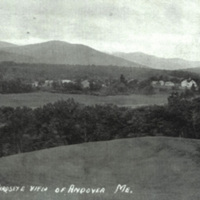
Andover view
Still Image / Available Online
Collection: Molly Ockett Exhibit images
Andover, Maine obituaries / Robert A. Spidell
Book / In-house Use Only
Tags: Andover (Me.)
Collection: Books and Pamphlets
Andover, Maine, Births, Deaths and Marriages / [compiled by Robert A. Spidell]
Book / In-house Use Only
Tags: Andover (Me.)
Collection: Books and Pamphlets
Andrew Moore of Poquonock and Windsor, Conn., and his descendants / by Horace L. Moore
Book / In-house Use Only
Collection: Books and Pamphlets
Andrews Mill ("Casket Factory") - South Woodstock
Still Image / Available Online
Collection: OCHRS Photographs
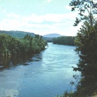
Androscoggin in North Bethel
Still Image / Available Online
Collection: A River's Journey images
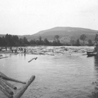
Androscoggin log drive
Still Image / Available Online
Collection: A River's Journey images
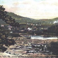
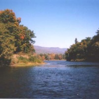
Androscoggin River at low water
Still Image / Available Online
Collection: A River's Journey images
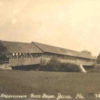
Androscoggin River covered bridge at Bethel
Still Image / Available Online
Collection: A River's Journey images
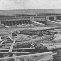
Androscoggin river dams
Still Image / Available Online
Collection: A River's Journey images
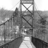
Androscoggin Swinging Bridge
Still Image / Available Online
Collection: A River's Journey images
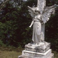
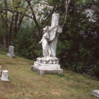
Angel - "Risen" / "Salisbury" Gravestone - Riverside Cemetery - South Paris
Still Image / Available Online
Collection: OCHRS Slides
Angel - "Risen" / "Salisbury" Gravestone - Riverside Cemetery - South Paris
Still Image / Available Online
Collection: OCHRS Slides
Angel - Close-up - "Risen" / "Salisbury" Gravestone - Riverside Cemetery - South Paris
Still Image / Available Online
Collection: OCHRS Slides

