Browse Items (74 total)

  • Collection: A River's Journey images
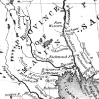
1755 Mitchell map detail

Mitchell 1755 map (detail).jpg

Still Image / Available Online

In 1714, a prominent group of Massachusetts men obtained a charter to the “Pejepscot Patent,” a huge tract of land on both sides of the lower Androscoggin River. From the relative safety of Boston, the Pejepscot Proprietors promoted the…

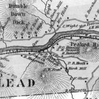
1880 map detail showing Gilead

Gilead 1880 (section).jpg

Still Image / Available Online

During the late 1840s and early 1850s, the Androscoggin River valley from Bethel, Maine, to Berlin, New Hampshire, was chosen as the best route for a railroad linking Portland with Montreal. This 1880 map (section) of Gilead, the next town west of…

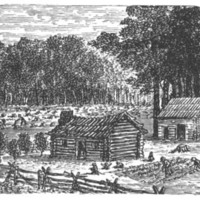
18th century log cabin

log cabin.jpg

Still Image / Available Online

The 1760s and 1770s witnessed the clearing of land and the construction of farmsteads, houses, mills and churches as white people moved up the Androscoggin River to occupy territory long occupied by the Abenaki.

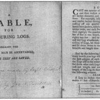
A table for measuring logs

Twitchell table for measuring logs.jpg

Still Image / Available Online

At the time of first settlement by white people, many towns on the Androscoggin boasted sizeable stands of white pine that thrived in the thin soils along the river’s banks. Eleazer Twitchell, a prominent Bethel resident, capitalized on this by…

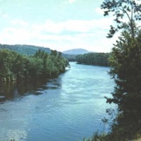
Androscoggin in North Bethel

AR at Bethel near Sunday River Road (looking south).jpg

Still Image / Available Online

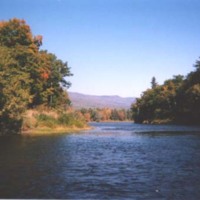
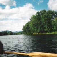
Between the many waterfalls on the Androscoggin are numerous broad and calm stretches of water, which have become increasingly popular with modern-day canoeists. This segment flows through the picturesque countryside of North Bethel.

Androscoggin log drive

Androscoggin log drive #2.jpg

Still Image / Available Online

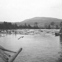
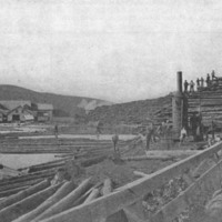
This photo of circa 1900 depicts a long log drive on the Androscoggin about ten miles downriver from Bethel Hill village. Using pick poles, peaveys, and brute strength, river drivers (many of whom could not swim) kept logs apart to prevent jamming. …

Androscoggin River at low water

Ar at low water, Rumford.jpg

Still Image / Available Online

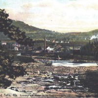
Before the introduction of treatment plants along the Androscoggin, low water levels turned this once proud waterway into a slow-moving sewer.

Androscoggin River covered bridge at Bethel

Androscoggin+River+covered+bridge.jpg

Still Image / Available Online

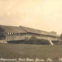
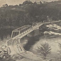
Completed in 1869, this three-span, double-lane covered bridge spanned the Androscoggin River at Bethel until it was razed in 1927. Note that the closest span was built at an angle, due to the different heights of the riverbanks.

Androscoggin river dams

Upper Dam.jpg

Still Image / Available Online

The dams that confine and regulate the flow of water from the many lakes above the source of the Androscoggin River are (top to bottom) Upper Dam, between Mooselookmeguntic and Upper Richardson lakes; Middle Dam, between Lower Richardson lake and…

Androscoggin River near Gilead

AR near Gilead (Nate Wight photo).jpg

Still Image / Available Online

Androscoggin Swinging Bridge

Androscoggin Swinging Bridge (MHPC photo).JPG

Still Image / Available Online

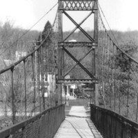
The "Swinging Bridge" was originally built in 1892 for workers walking over the Androscoggin River from the Topsham Heights neighborhood to Cabot Mill in Brunswick, Maine. The bridge was constructed in 1892 by John A. Roebling's Sons Company, the…

Bearce sawmill

Bearce Sawmill (MHPC photo).JPG

Still Image / Available Online

The first mill to operate on the Androscoggin was a sawmill erected on the upper dam at Brunswick between 1753 and 1761. (The mill stood near the present site of “Fort Andross,” the former Cabot Manufacturing Company). Located on the Lewiston side…

Berlin sawmill

Berlin sawmills.jpg

Still Image / Available Online

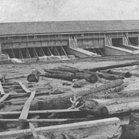
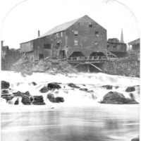
This large sawmill was erected astride the Androscoggin at Berlin, New Hampshire, in 1897 to replace one destroyed by fire earlier that year. With a capacity of 200,000 board feet a day, the mill was a thriving enterprise until it, too, burned in…

Bethel Wastewater Treatment Plant

Bethel Wastewater Treatment Plant.jpg

Still Image / Available Online

The published findings of the 1941 survey carried out by Metcalf & Eddy included recommendations for the construction of sewage treatment plants in most of the larger communities on the Maine portion of the Androscoggin. The published findings of the…

Bridge below Lisbon Falls

bridges below Lisbon Falls (taken out in 1936).jpg

Still Image / Available Online

The massive stone piers supporting this bridge below Lisbon Falls were designed to withstand the Androscoggin's strong currents and the pounding of huge chunks of ice during the winter. Nevertheless, extremely high water during the flood of March…

Burgess Sulphite Paper Mill, Berlin

Burgess Sulphite Paper Mill, Berlin.jpg

Still Image / Available Online

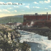
The earliest paper mills at Berlin, New Hampshire, relied on the soda process to making wood pulp—a process that was never completely satisfactory. With the perfection in the mid-1880s of the sulfite process for breaking down wood fibers, this large…

Canoeing on the Androscoggin

canoeing the river (Danna Nickerson photo).JPG

Still Image / Available Online

Captain John Smith

Captain John Smith.jpg

Still Image / Available Online

Among the earliest English explorers to venture up the Androscoggin was Captain Raleigh Gilbert. In September 1607 he and his men rowed longboats upriver from Brunswick, perhaps as far as Lisbon Falls. Upon encountering a group of Indians in…

Construction of canal at Rumford

building canal at Rumford.jpg

Still Image / Available Online

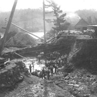
The construction of canals to furnish Androscoggin water to the several mills at Rumford Falls was of paramount importance in the early 1890s. Hugh Chisholm also purchased controlling stock in the Rumford Falls and Buckfield Railway Company, which…

Cutting room, Oxford Paper Company

cutting room, Oxford Paper Company.jpg

Still Image / Available Online

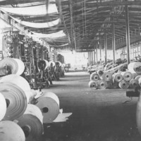
The cutting room at Rumford’s Oxford Paper Company as it appeared around 1910. To reach this stage in papermaking, many unwanted substances from wood were extracted and discharged directly into the Androscoggin. Industrialists, like Hugh Chisholm,…

Dam construction above Berlin

dam construction above Berlin #1.jpg

Still Image / Available Online

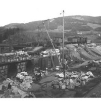
This photo, which dates from about 1900, conveys an accurate picture of the back-breaking toil involved in the construction of dams on the Androscoggin before the advent of hydraulic equipment. A handwritten note on the back of the image reads:…

Durham, Maine lot and range map

Durham, Maine, map.jpg

Still Image / Available Online

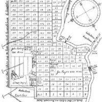
Arranged in a grid-like pattern, with the Androscoggin River on the right, this 1766 “lot and range” map of Royalsborough—incorporated as Durham, Maine, in 1789—clearly shows the narrow “intervale” lots bordering the River’s western bank. As in…

Early view of Great Falls

early view of Great Falls with open truss bridge.jpg

Still Image / Available Online

Lewiston Falls, from an 1833 painting made from the Auburn side of the Androscoggin. The open-truss bridge was erected in 1823. Following the dedicatory oration, tables were spread and a meal for the large crowd was enjoyed on the bridge.

Edmund S. Muskie

Edmund S. Muskie.jpg

Still Image / Available Online

Growing public concern for controlling water pollution led to a 1977 amendment to the Federal Water Pollution Control Act of 1972, commonly known as the “Clean Water Act.” Maine Senator (and later, Secretary of State) Edmund Muskie—a Rumford…

Falls at Lewiston-Auburn

Falls at Lewiston-Auburn.jpg

Still Image / Available Online

Between 1850 and 1870, Lewiston was transformed into a manufacturing center when granite-sided canals, huge brick textile mills, and rows of brick and wooden workers’ housing were constructed just below the Great Falls. The Androscoggin River was…