Browse Items (36 total)

  • Collection: Molly Ockett Exhibit images

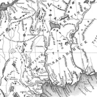
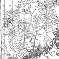
1795 Carleton map
Still Image / Available Online

Abenaki survival in post-Revolutionary Maine (delineated here in a 1795 map by Osgood Carleton), as well as other parts of northern New England, depended on accommodation to the white man's world. Often camping near the newly laid out communities…

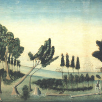
View of Paris Hill, 1802

Still Image / Available Online

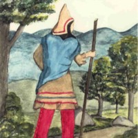
Molly Ockett and others of her kin-group were in the Bethel area in the mid-1760s and witnessed the clearing of land and the construction of houses as white people arrived to usurp the former Abenaki territory. The civilizing tendencies of these…

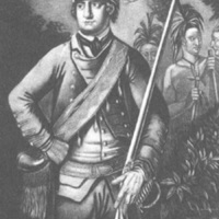
Robert Rogers

Still Image / Available Online

Known to the Abenaki as "the White Devil," Major Robert Rogers of the British Army was ordered to neutralize New France's Native allies in 1759. Showing little mercy, Rogers and his Rangers destroyed Odanak (or "Arasagunticook," as it was then…

Mitchell map

Still Image / Available Online

In this detail from John Mitchell's 1755 Map of the British and French Dominions in North America, we have an intimate view of Molly Ockett's world at the outbreak of the so-called French and Indian War (1755-59), when many Abenaki found safe haven…

Plymouth, MA

Still Image / Available Online

During King George's War, a handful of Pigwacket men volunteered to fight for the English in exchange for protection for their families. In June of 1744, the Pigwacket chieftains Saquant and Weranmanhead (one of whom may have been Molly Ockett's…

1613 Saco, Maine map

Still Image / Available Online

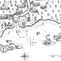
Like other Native Americans inhabiting northern New England, the Pigwackets were a semi-nomadic people, moving easily up and down river in light birchbark canoes in pursuit of sustenance. This 1613 map of Saco, Maine, by Samuel de Champlain includes…

Lovewell monument

Still Image / Available Online

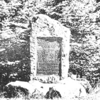
A monument commemorating the "Battle of Lovewell's Pond" was erected at Fryeburg in 1904 by the Society of Colonial Wars. The monument's plaque states, "To mark the field of Lovewell's Fight on the 8th day of May 1725 between a company of…

Fryeburg 1880 map

Still Image / Available Online

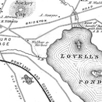
The village of Pigwacket was the scene of one of the most widely known military events in colonial New England history when, on May 8, 1725, thirty-four English scalp hunters led by the daring Captain John Lovewell engaged some forty Abenaki led by…

Indian Fort

Still Image / Available Online

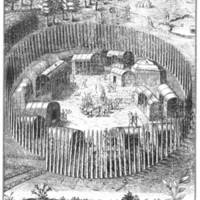
A major focal point of Molly Ockett's world was Pigwacket, the ancient Indian enclave at present-day Fryeburg, Maine. This late 16th century representation of an East Coast Algonquian village conveys something of Pigwacket's appearance in the…

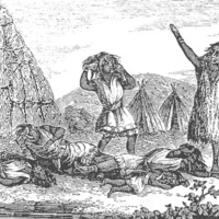
"Great Dying"

Still Image / Available Online

King Philip's War (1675-1676), a brief but bloody conflict between Native Americans and English colonists in southern New England, marked a turning point in 17th century encounters between Indians and Europeans. However, it was not the worst…