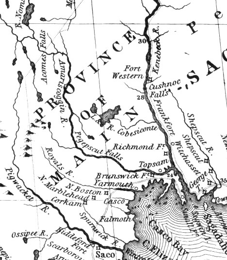
1755 Mitchell map detail
Title
1755 Mitchell map detail
Description
In 1714, a prominent group of Massachusetts men obtained a charter to the “Pejepscot Patent,” a huge tract of land on both sides of the lower Androscoggin River. From the relative safety of Boston, the Pejepscot Proprietors promoted the sale of land in and settlement of Brunswick, Topsham, North Yarmouth and other nearby towns. Upriver areas took longer to settle. (Detail from John Mitchell's 1755 Map of the British and French Dominions in North America)
Identifier
rivers-journey-14

