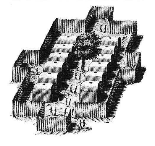
Native American stockade
Title
Native American stockade
Description
This early 17th century representation of an East Coast Algonquian village conveys an accurate picture of the type of fortified encampments that once dotted the Androscoggin River valley. In 1703, an English scouting party traveling through this region stated: "When we came to the fort, we found about an acre of ground, taken in [palisaded] with timber set in the ground . . . with ports [gates].” At Canton Point, about halfway between the headwaters and mouth of the Androscoggin, a large Abenaki fort with chapel supplied with a French priest, existed well into the 17th century. Other Indian villages within the watershed (and occupied—along with smaller campsites—on a seasonal basis) existed at Bethel, Auburn (Laurel Hill), Lisbon (Pejepscot), Minot, and Sabattus. From Willem Janszoon Baeu’s map, Nova Belgica et Anglia Nova, published in Amsterdam in 1635.
Identifier
rivers-journey-07

