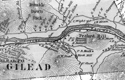
1880 map detail showing Gilead
Title
1880 map detail showing Gilead
Description
During the late 1840s and early 1850s, the Androscoggin River valley from Bethel, Maine, to Berlin, New Hampshire, was chosen as the best route for a railroad linking Portland with Montreal. This 1880 map (section) of Gilead, the next town west of Bethel, gives an idea of how tightly the railroad and road (now Route 2) were squeezed between the river and the mountains in this district.
Identifier
rivers-journey-20

