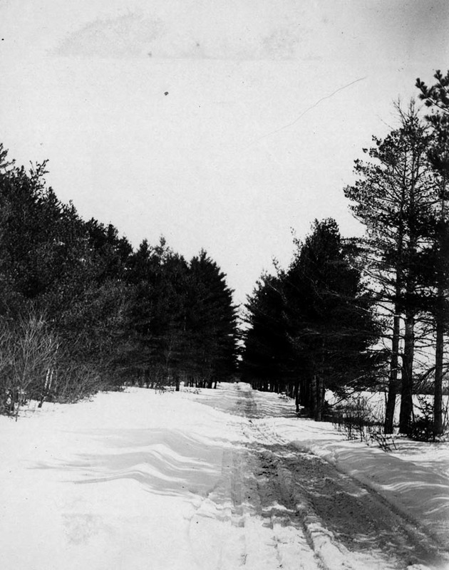
Route 2 west of Hanover
Title
Route 2 west of Hanover
Description
A series of relatively level uplands running alongside rivers and streams in the Androscoggin watershed were utilized for the location of roads as towns developed and prospered. This photo shows a section of present-day Route 2 west of the village of Hanover, as it looked in the winter of 1910-11.
Identifier
rivers-journey-17

