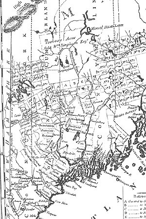
1795 Carleton map
Title
1795 Carleton map
Description
Abenaki survival in post-Revolutionary Maine (delineated here in a 1795 map by Osgood Carleton), as well as other parts of northern New England, depended on accommodation to the white man's world. Often camping near the newly laid out communities for months at a time, Indians continued to visit and travel throughout the region well into the 19th century. Bethel historian Dr. Nathaniel T. True, writing in 1859, stated, "It was no uncommon sight for quite a fleet of boats [canoes] to pass up and down the river in company." Sudbury Canada, now Bethel, appears just to the right of the "m" in "New Hampshire."
Identifier
mollyockett-11

