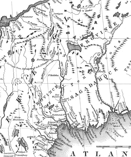
Mitchell map
Title
Mitchell map
Description
In this detail from John Mitchell's 1755 Map of the British and French Dominions in North America, we have an intimate view of Molly Ockett's world at the outbreak of the so-called French and Indian War (1755-59), when many Abenaki found safe haven at the Canadian mission village of Odanak on the St. Francis River. Note the "Pigwacket R[iver]" at the bottom left, a major focal point in the lives of generations of Molly Ockett's ancestors. This map, used in the peace negotiations ending the American Revolution, identifies numerous English forts and settlements along what is now Maine's southern and central coast.
Identifier
mollyockett-08

