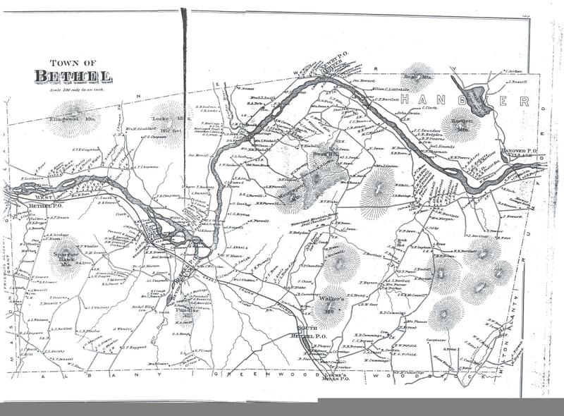
Bethel 1880 map
Title
Bethel 1880 map
Description
Bethel's system of roads extended into every district of the town by the time this 1880 map was published in the Atlas of Oxford County, Maine. In 1843 a two-thousand acre area of Bethel (upper right hand corner of map) lying north of the Androscoggin River was joined with the settlement of "Howard's Gore" to create the town of Hanover.
Date
1880
Identifier
historic-town-11

